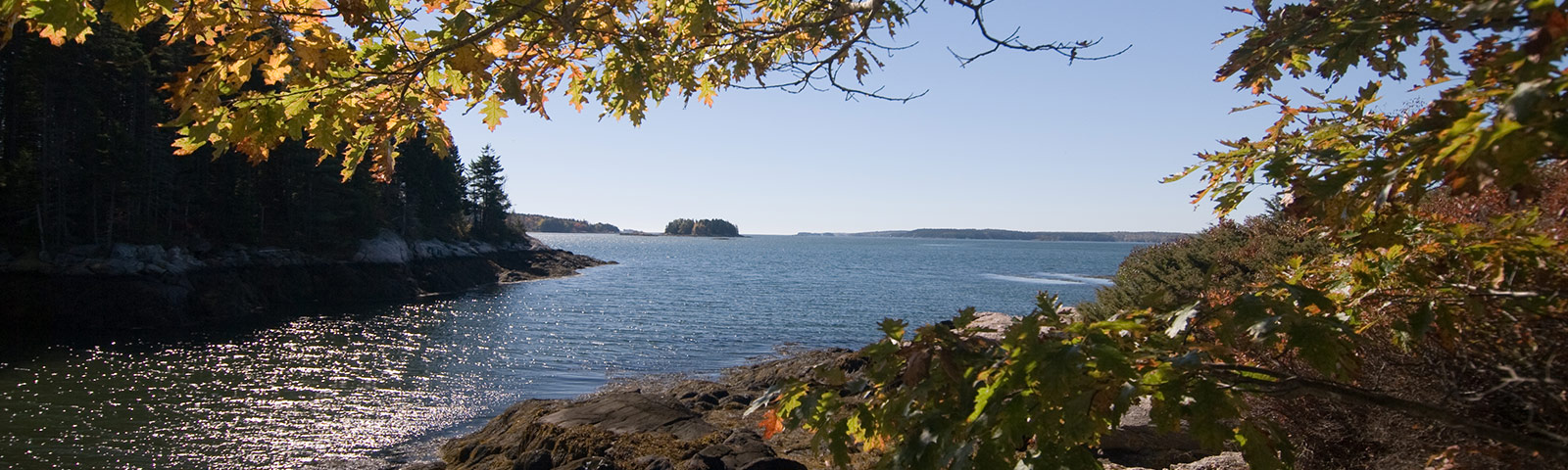
Recognizing the connection between land and water, Boothbay Region Land Trust sees a direct relationship between our mission of land conservation and water protection. Both fresh and coastal waters are a significant natural resource for our community and its wildlife, and understanding the impacts and interconnections of land and water informs how we manage land, as well as how we address conservation issues in our region.
Coastal Water Monitoring
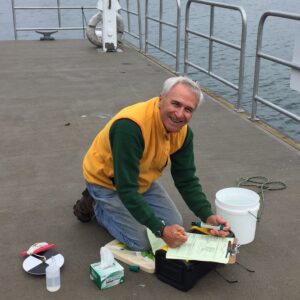
The Edwin J. Green Coastal Water Monitoring Program of Boothbay Region Land Trust is a citizen-science led effort to provide sustained on-shore water quality monitoring for the Boothbay region. Named in honor of founding program coordinator, Edwin J. Green, the program was developed in response to changing conditions along our coast. Coastal waters are a significant natural resource for our community and its wildlife. A thorough understanding of the condition of the region’s marine waters will allow the towns of Boothbay, Boothbay Harbor, Edgecomb, and Southport to assess with more confidence the actions they need to take to ensure public health and economic vitality in their communities.
In 2014, volunteer-supported organizations and researchers along the coast of Maine formed the Maine Coastal Observing Alliance (MCOA), in recognition of a common interest in understanding and promoting the ecological health of Maine’s estuaries between Casco Bay and Penobscot Bay. In 2015, in coordination with MCOA, BRLT began recording pH, temperature, dissolved oxygen, salinity, and turbidity at sites in the Boothbay Region. In 2020, the land trust received approval from the Maine Department of Environmental Protection (Maine DEP) for our Quality Assurance Project Plan, enabling BRLT to submit coastal monitoring data to Maine DEP for use in its research and reporting. The Quality Assurance Project Plan represented over three years of concerted effort and coordination to develop specific standards, processes and procedures to ensure high quality data was being provided for the scientific community. Currently BRLT conducts coastal water monitoring at twelve sites across the Boothbay Region biweekly from May through October.
The recorded results of water sampling are shared with Maine DEP, MCOA, the University of Maine, the National Oceanic and Atmospheric Administration (NOAA) as well the public through BRLT’s website.
Interested volunteers or researchers seeking data may contact Environmental Educator, Tracey Hall.
Download a printable overview of the Coastal Water Monitoring Program.
Download our Maine DEP Approved Quality Assurance Program Plan.
Download the Water Sampling Charts or the 2024 Program Report.
Drinking Water Protection
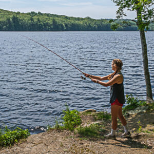
Each year Adams Pond and Knickerbocker Lake provide hundreds of millions of gallons of clean drinking water to Boothbay, Boothbay Harbor and Southport. While our communities rely on our water supply lakes, the water quality within them relies on what happens on the land that drains into them. These watershed areas drive water quality. We know from studies here and across the globe that when too much of a watershed’s natural area is converted to human development, water quality declines.
Recognizing the need for a regional watershed conservation effort, the Boothbay Region Clean Drinking Water Initiative (CDWI) was formed in 2020. This unique collaboration between Boothbay Region Land Trust, Boothbay Region Water District, four of the regions notable nonprofit organizations, and the towns of Boothbay, Boothbay Harbor and Southport, is dedicated to forever safeguarding the Boothbay region’s public drinking water supply through land conservation, education, stewardship, and community collaboration.
To learn more about this collaborative, email cleandrinkingwater@bbrlt.org or click here.

